
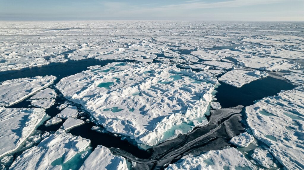
A new deep-learning framework that combines radar and optical satellite imagery has achieved an overall classification accuracy of 96.69% in distinguishing five categories of sea ice over Hudson Bay, Canada, according to a study published in Earth Science Informatics. The framework, called MAG-Net, was developed by Deyou Fan and Changying Wang to address a persistent bottleneck in polar remote sensing: most existing sea ice classification methods rely on a single data source, which limits the information available for separating ice types that look deceptively similar to one sensor but not the other.
The researchers built their dataset from Sentinel-1 synthetic aperture radar (SAR) and Sentinel-2 multispectral imagery (MSI) acquired over Hudson Bay between October 2019 and May 2020, drawing on 60 co-registered image pairs. The region is routinely monitored by the Canadian Ice Service, whose weekly operational ice charts served as the reference for sample selection, label construction and category interpretation. The classification scheme covers five classes: Water, Grey Ice, Grey-White Ice, Thin First-Year Ice and Thick First-Year Ice, spanning open water, transitional conditions and successive stages of first-year ice development. Because sea ice drifts and deforms rapidly, the team carefully matched the acquisition times of the radar, optical and ice chart data to limit spatial misalignment of ice-water boundaries.
Preprocessing was substantial on both sides. The Sentinel-1 data, from which the HH polarization channel was selected for its sensitivity to surface roughness and structural variation, underwent precise orbit correction, thermal noise removal, radiometric calibration, speckle filtering with a Refined Lee filter, and terrain correction before being converted into decibel backscatter images. The Sentinel-2 products were atmospherically corrected with the Sen2Cor algorithm to produce surface reflectance, with cloud, cloud shadow and invalid pixels masked using the scene classification layer, and all selected bands resampled by bilinear interpolation to a uniform 10-meter resolution. Labels derived from the ice charts were refined at pixel level using fine reflectance differences in the optical imagery, since the coarse polygon boundaries of operational charts do not perfectly align with fine ice edges in high-resolution data.
The core insight behind MAG-Net is that SAR and optical data fail in complementary ways. SAR backscatter is sensitive to sea ice structure, surface roughness and dielectric properties, but struggles to separate ice types with similar physical properties and is insensitive to surface melt and snow thickness. Optical imagery offers rich spectral information that helps distinguish categories with similar radar responses, yet it is frequently unavailable due to cloud cover and the polar night. The authors argue that applying structurally identical feature extraction or direct fusion to these two modalities can suppress useful sensor-specific information or combine conflicting responses, which is why their architecture treats each modality asymmetrically.
Technically, MAG-Net uses a dual-branch design. The SAR branch employs a frequency-domain gated convolutional encoder: a fast Fourier transform maps features into the frequency domain, where learnable complex-valued weights adaptively recalibrate frequency responses before an inverse transform returns the data to the spatial domain through a residual connection. This soft spectral filtering is intended to stabilize local texture representation while preserving edges and fine structures such as ice fractures. The MSI branch contains a spectral graph modeling module that treats latent spectral descriptors as nodes in a graph governed by a learnable adjacency matrix; the propagated graph response produces channel attention that enhances discriminative spectral information while suppressing the high correlation and redundancy among multispectral bands.
Both branches then pass through a lightweight Mini-ASPP module, a compact variant of atrous spatial pyramid pooling with dilation rates of 1, 2 and 3, chosen because the input patches are only 27 by 27 pixels and larger dilation rates would leave too few effective sampling points at that resolution. The module aggregates context from multiple receptive-field scales, helping the network represent homogeneous ice fields, narrow leads, fragmented floes and irregular ice-water boundaries within the same model. Finally, the enhanced SAR and MSI features are projected into a shared latent space, where a K-nearest-neighbor graph is reconstructed from feature similarity during every forward pass. Multi-head graph attention with five heads then propagates messages both within and across modalities, allowing a visually ambiguous SAR node to exchange information with a spectrally similar MSI node even when their pixel positions do not coincide, a property the authors say reduces reliance on strict spatial correspondence.
The hyperparameters were tuned empirically. Classification accuracy followed a bell-shaped trend as patch size increased, peaking at 27 by 27 pixels with an overall accuracy of 95.23% and a Kappa coefficient of 0.9370, while a 3 by 3 convolution kernel and six graph neighbors proved optimal. Three graph attention layers delivered the best performance at 96.13% overall accuracy, with a fourth layer slightly degrading results, a pattern the authors attribute to the over-smoothing effect in deep graph networks, where node representations become increasingly homogeneous.
The headline results come from five independent runs using different image-level random partitions of the data. Across these runs, MAG-Net achieved a mean overall accuracy of 96.69% with a standard deviation of 0.11 percentage points and a mean Kappa coefficient of 0.9475 plus or minus 0.0028, outperforming selected single-source and multi-source baselines evaluated on the same seed-specific partitions. In the reference run, the model reached a peak overall accuracy of 97.42% and led on class-wise accuracy for Grey Ice at 92.79% and Thin First-Year Ice at 99.18%. Compared with a 2D fusion convolutional baseline, MAG-Net improved Grey Ice and Grey-White Ice accuracies by 2.01 and 2.34 percentage points respectively, and it exceeded FusionNet-ResFPG by 0.31 percentage points in mean overall accuracy and 1.47 points in mean mIoU, while outperforming FusionNet-ISPP-PANet by 1.79 and 7.38 points on the same metrics.
The confusion-matrix analysis reveals where the model still struggles. Mean recalls for Grey-White Ice, Grey Ice, Thin First-Year Ice and Thick First-Year Ice were 96.7%, 90.9%, 99.2% and 98.9% respectively, with small standard deviations indicating stable performance across runs. Water, however, proved the most challenging category, with a mean recall of only 62.1% plus or minus 6.7%. Misclassified water samples were predominantly assigned to Grey Ice and Thin First-Year Ice, errors the authors attribute to wind-roughened open water producing enhanced SAR backscatter comparable to thin ice, and to frazil or grease ice creating spectral ambiguity in the optical data. An ablation study confirmed that each component contributes: removing frequency-domain gating, the spectral graph block, Mini-ASPP or dynamic graph interaction reduced mean overall accuracy by 1.06, 4.16, 0.64 and 1.09 percentage points respectively, and removing the graph module cut mIoU from 85.17% to 80.49% while raising the standard deviation of overall accuracy from 0.11% to 7.52%.
Efficiency is another selling point. MAG-Net contains only 0.421 million trainable parameters, roughly 350 times fewer than FusionNet-ResFPG, and requires 2.263 gigaflops with a measured inference latency of 3.549 milliseconds per patch, slower than simpler convolutional models but faster than FusionNet-ResFPG at 4.733 milliseconds. The authors are careful to note the limits of their findings: the dataset covers one region and one ice season, mainly representing seasonal first-year ice conditions, so the results do not yet establish generalizability across different Arctic regions, seasons, ice regimes or sensor platforms. The experiments used preprocessed and co-registered observations, robustness to acquisition degradation has not been quantitatively evaluated, and substantial cross-modal misregistration could still lead to incorrect feature associations during graph-based fusion. Future work, they write, will focus on geographically and temporally independent evaluation, controlled degradation testing and cross-sensor validation. For now, the study offers a compact, task-specific demonstration that fusing radar texture with optical spectra through adaptive graph reasoning can push fine-grained sea ice classification measurably further than either modality alone.
Subject of Research: Multimodal deep learning for sea ice classification using Sentinel-1 SAR and Sentinel-2 optical imagery
Article Title: Sea ice classification based on multi-source heterogeneous data
Article References: Fan, D., & Wang, C. (2026). Sea ice classification based on multi-source heterogeneous data. Earth Science Informatics, 19(12), Article 220. https://doi.org/10.1007/s12145-026-02259-8
Image Credits: AI Generated
DOI: 10.1007/s12145-026-02259-8
Keywords: sea ice, MAG-Net, Sentinel-1, Sentinel-2, SAR, multispectral imagery, Hudson Bay, graph attention, data fusion, remote sensing, deep learning, Canadian Ice Service

