
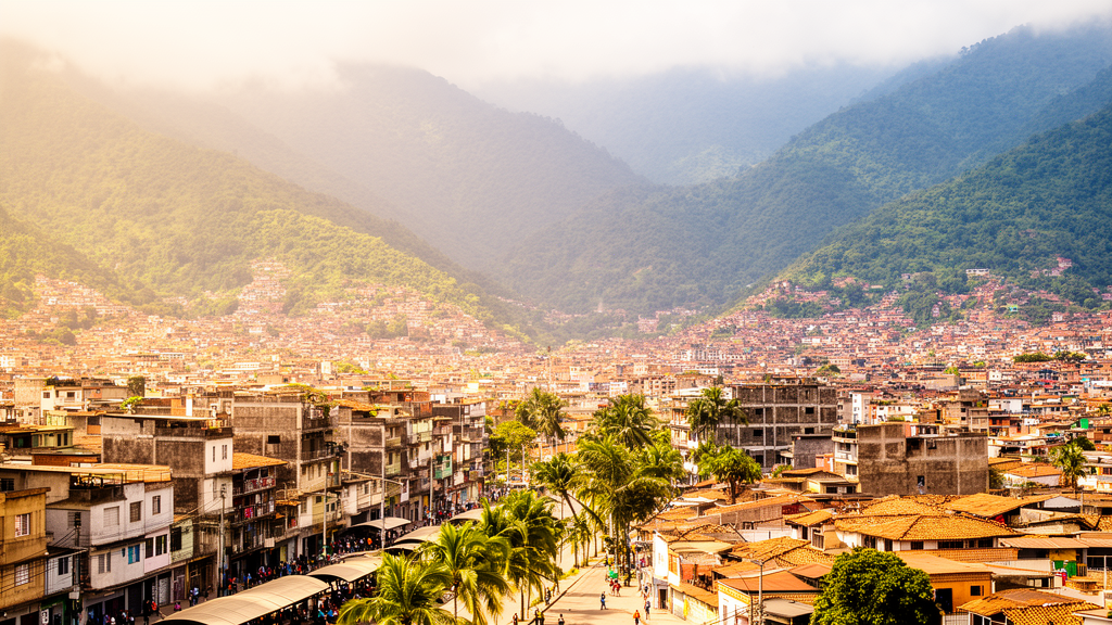
Rapid urbanization across thirty-one tropical South American cities between 1985 and 2018 significantly transformed regional socio-ecological systems, driving extensive land-use modifications and altering local thermal regimes. Rather than unfolding uniformly across the geographic landscape, the resulting shifts in maximum temperature were strongly conditioned by local topographic context.
To evaluate how these urban socio-ecological systems evolved over the thirty-three-year period, the research team constructed an integrated geospatial database. This system combined multi-temporal remote sensing observations with comprehensive datasets covering climatic conditions, topography, ecological features, demographics, and economic indicators. By synthesizing these diverse information layers, the study investigated how spatial growth patterns interacted with environmental gradients and human activity. The analytical framework deployed multiple statistical and machine learning methodologies, including two-way analysis of variance, k-means clustering, correlation analysis, multinomial logit models, and Random Forest classification to identify the drivers of growth and temperature dynamics.
The findings demonstrated that physical expansion trajectories varied significantly among distinct urban tiers, which were categorized as global cities, sub-global cities, regional-subglobal transition cities, and regional cities. Global metropolitan centers exhibited episodic phases characterized by concentrated bursts of accelerated outward growth. In contrast, sub-global and regional urban areas displayed more continuous expansion trajectories over time. Across these lower-tier categories, the pace of land conversion underwent a generalized intensification between 2014 and 2018, demonstrating that regional urban environments experienced notable acceleration in physical growth during the final years of the study period.
Thermal observations revealed that maximum temperatures rose across all examined altitudinal ranges throughout the study timeframe. However, this warming was not homogeneous across the terrain. The most pronounced thermal changes were concentrated within low- and intermediate-altitude urban environments, demonstrating that topographic context exerts a powerful governing effect on urban thermal dynamics. In addition, newly urbanized peripheral zones displayed thermal conditions that differed markedly from long-established urban cores. These contrasting conditions between newly developed land and historical metropolitan centers are consistent with spatially differentiated urban heat island processes operating across complex topographies.
Explanatory modeling confirmed that urban expansion across tropical South America was shaped by ongoing interactions between environmental constraints and socioeconomic forces. Historical expansion patterns differed notably from contemporary growth. Early urban expansion was more strongly associated with lower elevations, whereas more recent development pushed increasingly onto steeper and more rugged topography. Concurrently, urban growth was associated with landscapes marked by high forest cover and active deforestation, pointing to an expanding urban frontier that continuously encroaches upon and ecologically transforms surrounding natural environments.
Demographic and economic indicators also exhibited contrasting relationships with the observed expansion patterns. Population density and population growth rates were positively associated with urban expansion across the thirty-one cities, while gross domestic product showed a negative relationship with spatial growth. When evaluating the relative importance of multiple variables, Random Forest classification identified precipitation, gross domestic product, altitude, and maximum temperature as the most influential predictors governing urban expansion across these tropical socio-ecological systems.
Overall, the research demonstrates that urban spatial expansion is closely linked to thermal shifts across tropical South America, with maximum temperature increases shaped by local topography rather than occurring uniformly. The authors conclude that incorporating topographic, ecological, and thermal gradients into municipal and regional planning frameworks could help mitigate climate-related risks. Accounting for these multi-dimensional landscape factors provides crucial empirical support for designing more sustainable urban development trajectories across rapidly changing tropical environments.
Subject of Research: Urban expansion trajectories and maximum temperature dynamics in tropical South America
Article Title: Urban expansion trajectories and maximum temperature dynamics across urban socio-ecological systems in the South American Tropics
Article References: Bonilla-Bedoya, S., Zalakeviciute, R., Santos, F., Mejia, D., Watson, S., Fernandes da Silva, G., & Mora, A. (2026). Urban expansion trajectories and maximum temperature dynamics across urban socio-ecological systems in the South American Tropics. City, Territory and Architecture. https://doi.org/10.1186/s40410-026-00340-9
Image Credits: AI Generated
DOI: 10.1186/s40410-026-00340-9
Keywords: urban expansion, maximum temperature, South American tropics, urban socio-ecological systems, thermal regimes, urban heat island, topographic gradients, deforestation, remote sensing, multinomial logit models, Random Forest classification, urban hierarchy, altitudinal warming, population density, spatiotemporal dynamics, sustainable urban planning